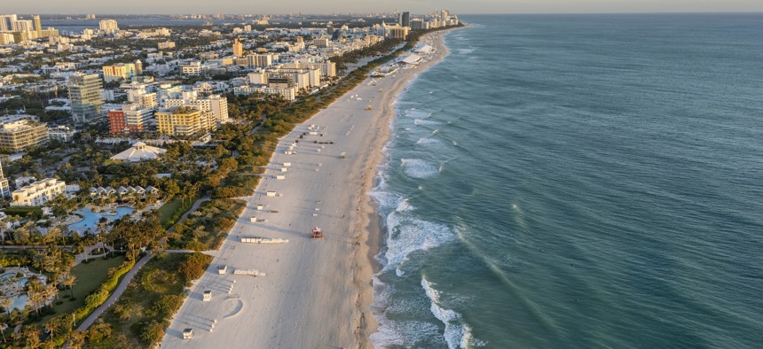
An aerial view of the coastline in Miami, Florida. Gettyimages.com / Nico De Pasquale Photography
NOAA keeps 3 incumbents for $250M coastal mapping contract
The National Oceanic and Atmospheric Administration uses this program to aid in decisions regarding flood risks and transportation, among other uses.
The National Oceanic and Atmospheric Administration has awarded three companies positions on a five-year $250 million contract for shoreline mapping services to aid in how NOAA monitors coastal regions.
Dewberry Engineers, NV5 Geospatial and Woolpert will compete for task orders to help NOAA use geospatial collection products that are deployed in sensors onboard ground, aircraft, vessels and/or satellite-based systems.
NOAA awarded this new iteration of the aptly-named Shoreline Mapping Services contract on Thursday and received five bids in total, according to Federal Procurement Data System records.
All three awardees are incumbents on the current contract, which NOAA awarded in 2020 and has obligated $76.7 million in order volume against to-date. Fugro USA Land was the fourth company awarded a place on that now-expired contract, according to GovTribe data.
NOAA's National Geodetic Survey office runs the contract in support of the agency’s Coastal Mapping Program for collecting data on U.S. shorelines. This work informs how NOAA makes decisions on activities related to mapping and charting, flood risk determination, transportation, land use and ecosystem management.
Solicitation documents released in the spring of 2024 outline the task areas as including ground surveys that rely on GPS methodology, work to install tide gauges and benchmarks, tidal and leveling observations, aero triangulation and digital map compilations.
Bidders were required to outline their capabilities in light detection and ranging (LiDAR) technology, aerial imagery, ground control surveys, and tide and water level monitoring activities. NOAA also sought companies that had expertise in geographic cell shoreline cleanup, editing, attribution and compilation work.

